
Antenna: mainly refers to the position of the wire used when GPS receives signals, such as built-in antenna, external antenna, car antenna, etc. Signal: is a kind of information resource that can

source:Industry News release time:2024-04-08 Hits: Popular:realtime gps tracker online

Antenna: mainly refers to the position of the wire used when GPS receives signals, such as built-in antenna, external antenna, car antenna, etc.
Signal: is a kind of information resource that can be shared by countless users. For the majority of users on land, sea and space, as long as the user has a receiving device that can receive, track, transform and measure GPS signals, that is, a GPS signal receiver, you can use GPS signals for navigation and positioning measurement at any time. According to the different purpose of use, the GPS signal receiver required by the user is also different. At present, there are dozens of factories in the world to produce GPS receivers, and there are hundreds of products. These products can be classified according to principle, use, function, etc.
Installation position accuracy: mainly refers to a circle with the installation position of the GPS device as the center of the circle, when the GPS satellite positioning, the maximum error of the GPS receiving device will not be located outside this circle, so the radius of this circle is called the installation position accuracy. The accuracy error of the GPS positioning satellite system is only a few meters, but in order to avoid the misuse of the GPS system by terrorists to sabotage activities, the United States especially puts the GPS system plus a kind of error control called Selective Availability (SA), so that the general civilian GPS system error will reach about 100 meters. However, as of 2 May 2000, this control has been lifted. Existing GPS devices can be accurate to a few meters if the manufacturer wants.
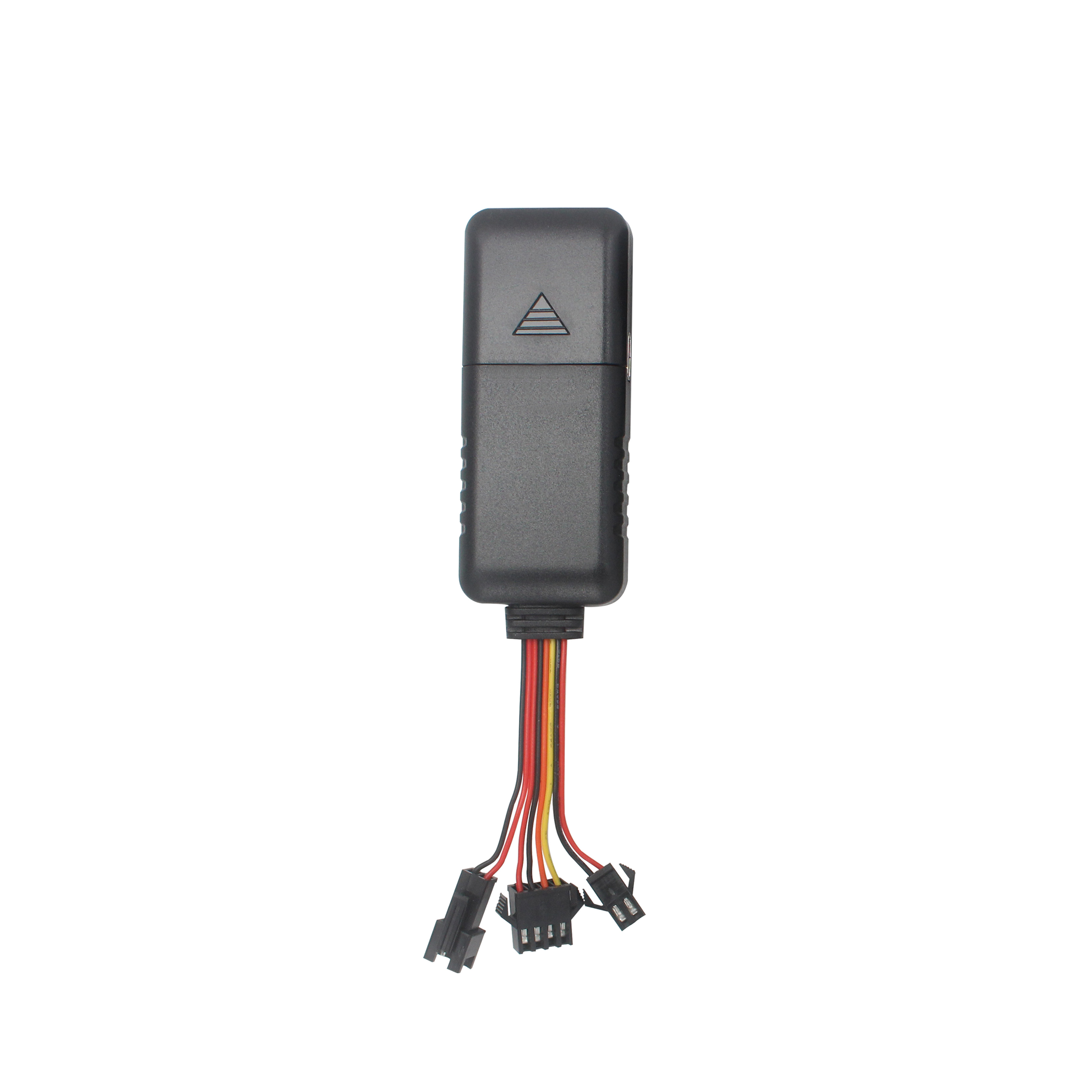
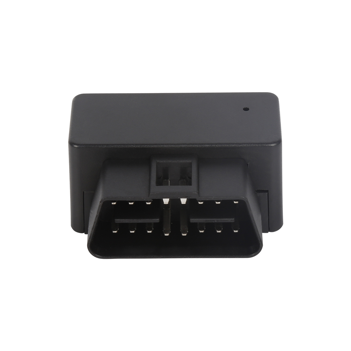
Interface: The interface of GPS device can be divided into data interface, power interface and RF interface. The specific standards of various interfaces are as follows: Data/power interface: international standard 20-pin (2×10) plug, RTCM104/RS-232, NMEA0183; Rf interface: OSX (or MCX type, ultra-small, lock type).
Refresh speed: refers to how often after the GPS device is installed, it refreshes the information sent by the GPS satellite to obtain the latest positioning information. Generally, after installation, refresh once every 1 second, so that the positioning information obtained is almost real-time.
Track points: A route is a set of data stored in GPS memory, including coordinates for a starting point and an ending point. The start and end points here are called trajectory points.
Track: The route is a set of data stored in the GPS memory, including the coordinates of a starting point and an end point, and can also include the coordinates of several intermediate points, and the line segment between each two coordinate points is called a "track".
Read recommendations:
Basic knowledge of GPS equipment installation
Where is the GPS positioner generally installed.gps tracker with magnet distributors
Last article:Whether the GPS equipment bought in China can be used abroad.4G GPS Tracker
Next article:What are the features of the car locator?gps vehicle tracker
Related Information
portable gps tracker
2023-03-164G GPS Tracker for vehicles manufacture
2023-04-23gps tracker for kids supplier
2023-04-23mini gps tracker wholesaler
2023-04-234G GPS Tracker for vehicles
2023-04-11Cantrack TK100
2023-04-11mileage tracking webfleet solutions
2023-03-16Cantrack GT06
2023-04-23fleet gps tracking Vendor
2023-04-23GPS Rastreader
2023-03-16P901 4G ID Card GPS Tracker Smart Walkie-talkie
2026-04-294G Wired GPS Tracker PCBA
2022-06-17G900LS 8 Lines-4G Car GPS Tracker
2026-04-29G900LM J16-4G Car GPS Tracker
2026-04-293 Years Disposable Asset GPS Tracker
2026-04-29What are the basic functions of vehicle gps locator?plug & play Obd gps tracker
2023-03-23The reason why it is an important navigation that it is inseparable.realtime gps tracker online Prod
2023-04-25Global Positioning System Fix Data (GGA) GPS positioning information
2022-09-28With GPS positioning function police smart clothing
2023-02-09GPS Global Satellite Positioning System
2022-10-10GPS military application introduction.realtime gps tracker online supplier
2023-05-06gps vehicle tracker.The role of installing GPS satellite positioning devices in the sales and leasin
2023-10-27The application and implementation of CAAC BeiDou is divided into three stages.car gps tracker Manuf
2023-06-13Gps speed limiter.The Role of GPS
2023-11-16Composition of GPS system
2022-08-12Surgical characteristics of the new technology GPS scheme
2022-10-15GPS base station positioning
2023-02-15Micro Tracking Locator
2022-09-21The choice of GPS hardware architecture
2022-09-01How to start GPS
2022-08-19Related Articles

A suitable global GPS tracker manufacturer should provide multi-band 4G LTE Cat 1 devices, confirm network compatibility for the destination market, and support GPS tracking platforms, APIs, OEM/O...
A reliable GPS tracker manufacturer should provide stable 4G real-time tracking, accurate multi-mode positioning, a wide range of device types, fleet and asset management functions, OEM/ODM customizat...
Firstly, let's take a look at why GPS locators are inaccurate and have large errors. GPS positioning accuracy, generally within 10 meters if obtaining Beidou or GPS signals; If it is a signal...
GPS differential positioning technology is an important method to improve the positioning accuracy of the Global Positioning System (GPS). In traditional GPS positioning, satellite signals are af...
Vehicle GPS Navigation System Vehicle mounted GPS navigation system is an indispensable and important device in modern automobiles, providing drivers with convenient and accurate navigation service...
Handheld GPS positioning device is a portable and practical positioning tool widely used in outdoor exploration, geological exploration, forestry investigation and other fields. Handheld GPS posi...
alger.qin@6gpstracker.com
 Phone: +86 198 7412 0903
 Tel: +86 755 2370 2092
 WhatsApp: +86 198 7412 0903
 Add: FL5, BLDG B, Lianxing Industrial Park, JiangJun Rd, Qiuchang, HuiYang District, Huizhou, Guangdong, China
Copyright © Huizhou Cantrack Technology Co., Ltd. All Rights Reserved. Sitemap “仲达荣”商标为惠州市仲达荣科技有限公司所有


Product

About
Support
News
Contact Us


 Language
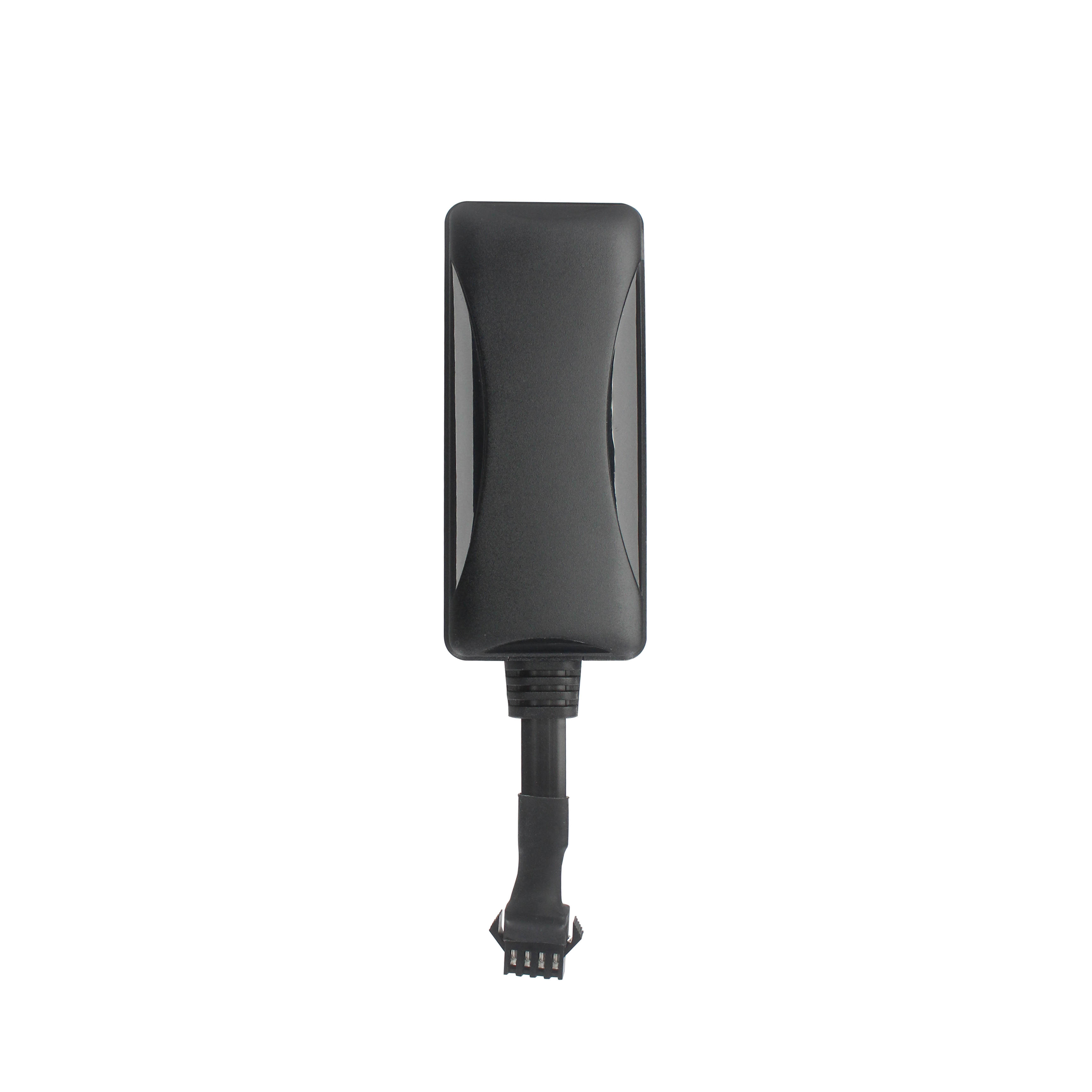


 EN
EN

