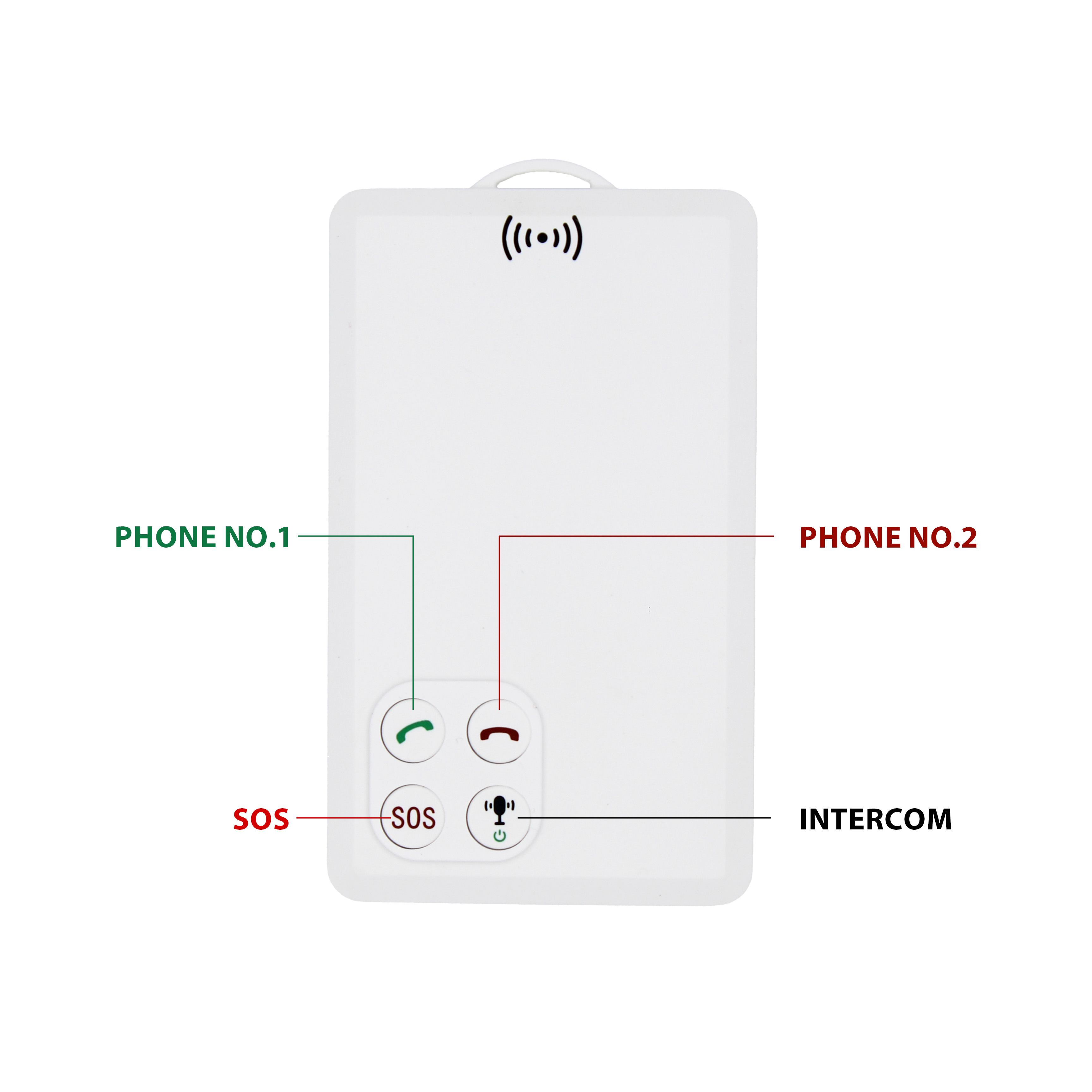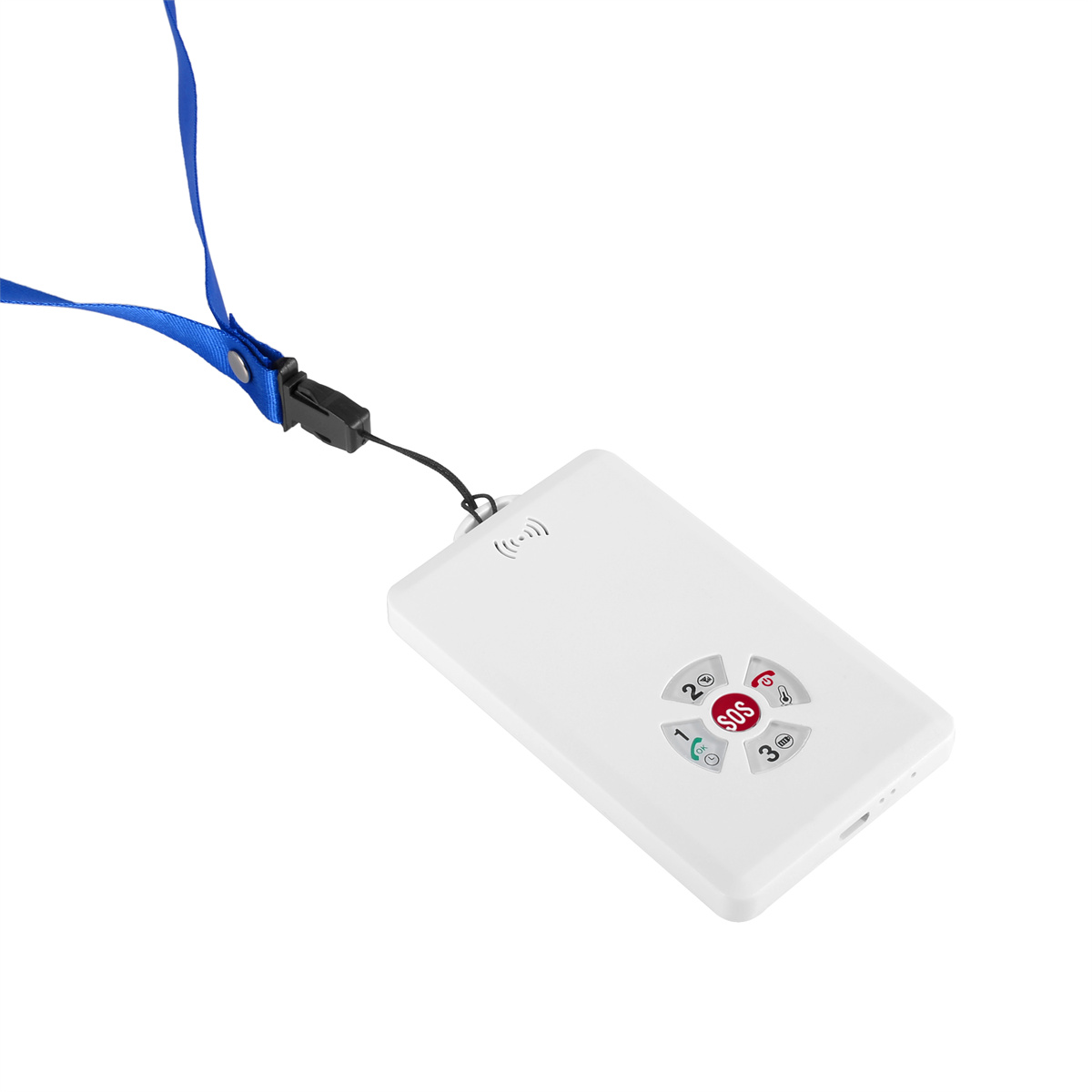
P901 is the thinnest smart walkie-talkie with real time GPS tracking function.It can be used in any place with GSM signal regardless distance limitation.We've already tested one key push-to-talk N...


Satellite signal view This view displays the position of GPS satellites. The upper half of this screen is a sky view, which displays the sky visible above the device, with the outer circle repres...

The IGS technology of GPS has made such great achievements and contributions, so in September 1999, VLBI and SLR stations in various countries decided to organize corresponding IVS and IVRS simila...

The IGS (International GPS Service) is an example of a network of GPS continuous operation stations and integrated service systems, based on approximately 200 global ground based GPS continuous op...

With the increase in car ownership, the decrease in GPS navigation electronic dog product prices, and the improvement of map practicality, the Chinese automotive GPS navigation electronic dog mark...

The GPS full frequency anti velocity radar combines the functions of the first two types of anti velocity radars, which can accurately predict both fixed radar velocity sensors and mobile velocity...

Correct operation is necessary, otherwise it will affect the service life of GPS. The correct operation method is: After use, follow the following shutdown sequence: first close the page, then sh...

To achieve navigation with GPS, in addition to hardware, software maps are also required for support. Commonly known as GPS navigation software, each type of GPS navigation software is developed f...

There are two types of coordinate representations: 2D and 3D. When GPS can receive signals from four or more satellites, it can calculate the local 3D coordinates: longitude, latitude, and altitud...

Road signs The coordinate value of a point stored in GPS memory. When there is a GPS signal, pressing the "MARK" button will mark the current point as a landmark, which has a default na...