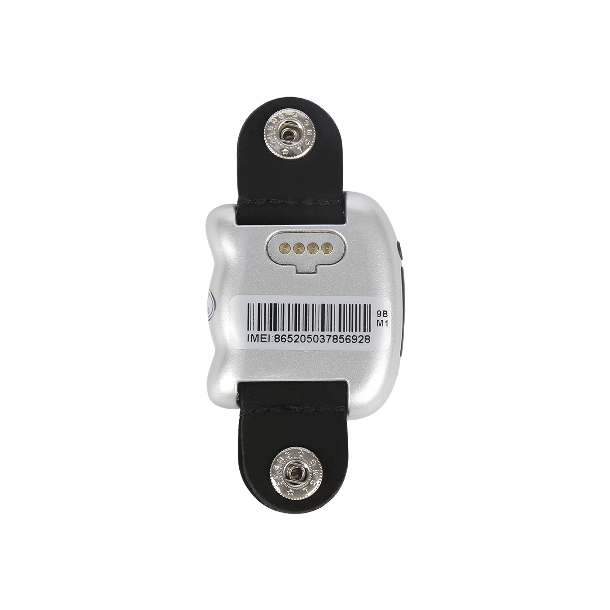
Application of GPS 1. Measurement GPS technology has brought a revolution to the surveying and mapping industry. By using carrier phase difference technology (RTK), on the basis of real-time proc...

Through GPS addressing and positioning software, you can quickly track and locate your current location and display a clear map. If you are on a business trip or visiting from other places, you no...
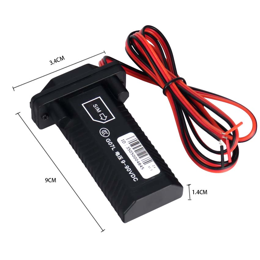
Classification of Automotive navigation system Vehicle Satellite navigation can be divided into built-in and external types according to the installation mode. The built-in vehicle mounted Satell...

Navigation function After the user marks any two points on the car GPS navigation system, the navigation system will automatically design the best route for the car owner based on the current pos...
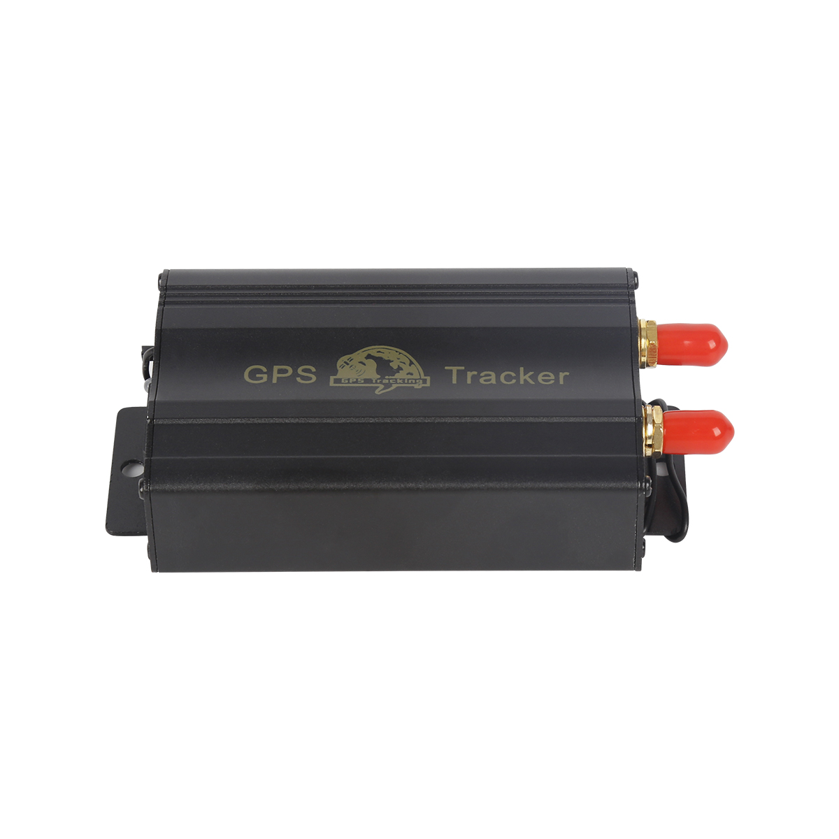
(1) User input destination. Before departure, the user inputs the destination into the navigation device through the input method provided by the system. In addition to directly clicking to select...

Having a GPS system alone is not enough. It can only receive data sent by GPS satellites, calculate users' three-dimensional position, direction, and motion speed and time information, and has...
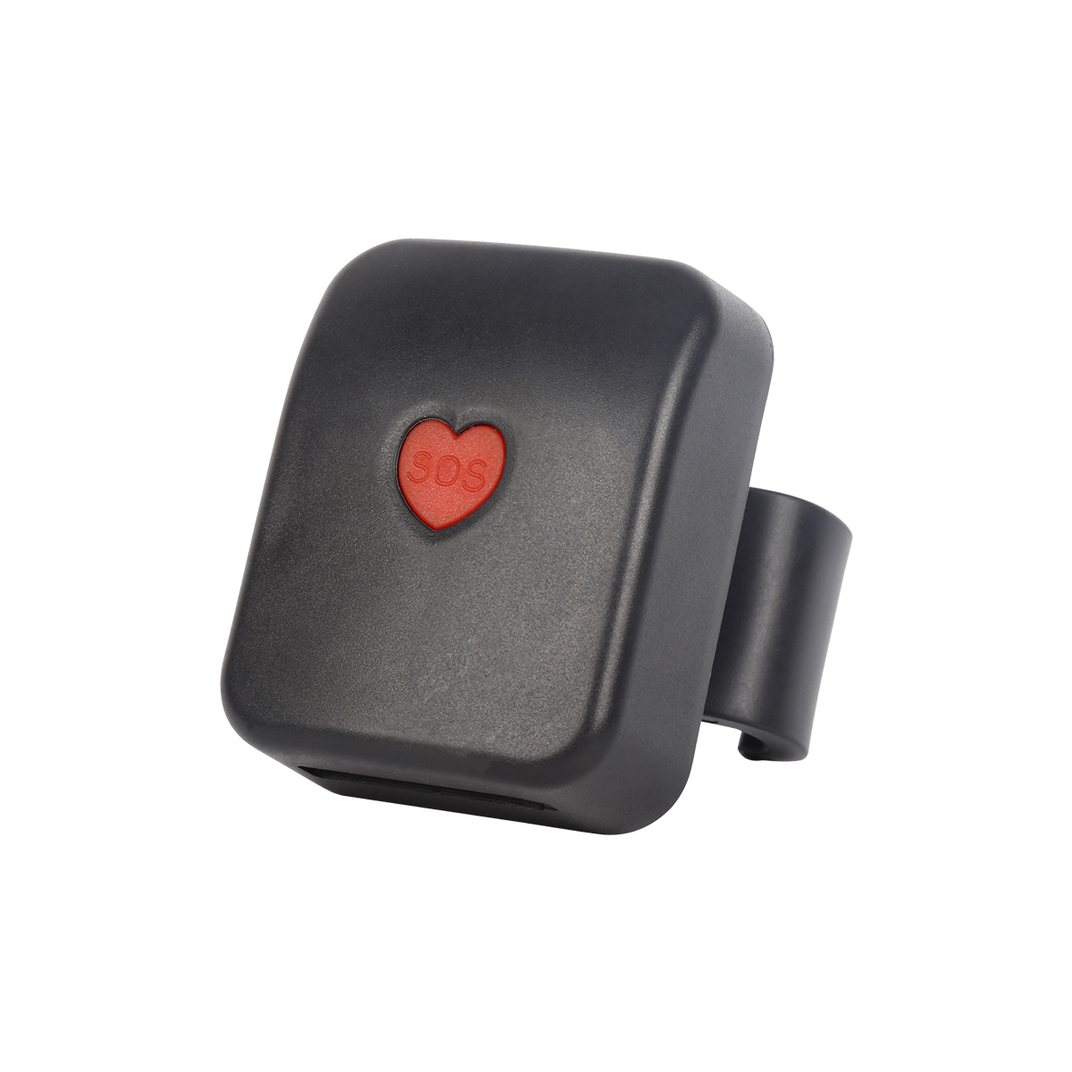
The number of GPS satellites that the GPS navigator can receive and its path planning ability are key to determining the quality of the GPS navigator. The more effective satellites the navigator c...
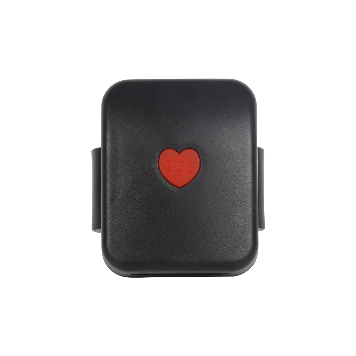
GPS is currently one of the most widely used positioning technologies in navigation systems, but it also has its own shortcomings. For example, when the GPS terminal is located in a place with den...

(1) In areas with gentle changes in elevation anomalies, GPS method can be used for elevation control measurement. Data collection should use static relative positioning method, and the time should...