
GLOBAL Positioning System, referred to as GPS, that is, global satellite positioning system, has been widely used in recent years, and has generated considerable demand for GPS products. And with

source:Industry News release time:2022-08-20 Hits: Popular:realtime gps tracker online

GLOBAL Positioning System, referred to as GPS, that is, global satellite positioning system, has been widely used in recent years, and has generated considerable demand for GPS products. And with the improvement of the level of science and technology and the continuous development of application directions, GPS will undoubtedly penetrate into people's daily life quickly.
The GPS positioning system we often mention is designed and controlled by the US military. In addition, my country's Beidou dual-star positioning system is silently contributing to my country's modernization; Russia's GLONASS system has also had a glorious history; the Galileo satellite positioning system designed by the European Union is compatible with the currently widely used GPS system, In a few years time will add a brighter page to the global positioning system.
The GPS system consists of three parts: the space part, the control part and the user part.
The space part is a general term for GPS satellites. The average height of the artificial satellite is about 20200Km, the orbit is an ellipse, and the earth is located at a focus of the ellipse; the operation period is about 12 hours. Nearly 30 navigation satellites are unevenly distributed on the six orbital planes with an inclination of about 55°, some of which are spare satellites. The US military can adjust the number of working satellites through the ground control part. In the GPS system, the GPS satellite is a dynamic known point, and all the navigation and positioning information of the user terminal is calculated based on the "ephemeris" sent by this dynamic known point. GPS ephemeris is actually a series of real-time state parameters describing the movement and orbit of GPS satellites. The broadcast ephemeris received by the civil GPS module is the forecast ephemeris directly broadcast to the user by the GPS satellite through the navigation message in the spread spectrum communication mode for real-time data processing, and broadcasts the civil pseudo ephemeris at different rates on different carriers. Random code C/A code ephemeris and military P code ephemeris.
For the whole GPS system, the ground control part is actually the core of the whole system. The ephemerides used for navigation and positioning broadcast by all GPS satellites are provided by 5 monitoring stations distributed on the ground. The ground system is responsible for monitoring GPS signals, collecting data, calculating and injecting navigation messages, status diagnosis, orbit correction, etc. It is the massive data processing of the ground monitoring system that enables the GPS system to operate accurately.
The GPS positioning module we often say is called the user part. It receives and demodulates the broadcast C/A code signal of the satellite like a "radio", and the intermediate frequency is 1575.42MHz. The GPS module does not broadcast signals and belongs to passive positioning. By calculating the pseudo-distance with each satellite, the four parameters of longitude, latitude, altitude and time correction of the receiver are obtained by using the distance rendezvous method. The module for initial positioning requires at least 4 satellites to participate in the calculation, which is called 3D positioning. 3 satellites can achieve 2D positioning, but the accuracy is not good. The GPS module continuously outputs the positioning information and auxiliary information in NMEA format through the serial communication port for the receiver to choose the application.
The most expensive indicators of GPS module performance mainly include receiving sensitivity, positioning time, position accuracy, power consumption, time accuracy, etc. The module startup positioning time is very different in different startup modes. Generally speaking, the cold start time refers to the situation that the module does not save any data that is helpful for positioning, including ephemeris, time, etc., generally nominally within 1 minute; the warm start time means that there are newer satellites inside the module Ephemeris (generally no more than 2 hours), but the time deviation is very large, generally within 45 seconds; the hot start time refers to the case where the shutdown does not exceed 20 minutes, and the RTC time error is very small. Typically nominally within 10 seconds; the recapture time is like a car going through a tunnel and recapturing a satellite as it exits the tunnel. Generally nominal within 4 seconds.
If the module is placed for a long time after positioning, or the module is transported to a place hundreds of kilometers away after positioning, there is an ephemeris inside the module, but this ephemeris is wrong or has no reference significance. In these cases, the positioning time can take several minutes or more. Therefore, the general GPS module should clear the ephemeris and other data inside the module when it leaves the factory, so that the customer can quickly locate the module by cold start after getting the module.
Read recommendations:
Main Errors and Elimination Algorithms in GPS Positioning
Compared with the difference between Beidou positioning and GPS positioning.cat gps tracker Manufact
Last article:GPS positioning accuracy
Next article:GPS dynamic positioning
Related Information
4G GPS Tracker for vehicles Solution
2023-04-23simple gps tracking Factory
2023-04-23GPS Tracker company
2023-04-114G GPS Tracker maker
2023-04-23gps tracker for bike Factory
2023-04-23cat gps tracker sales
2023-04-11fleet gps trackers supplier
2023-04-23gps tracker with magnet
2023-03-16simple gps tracking wholesaler
2023-04-23gps vehicle tracker manufacture
2023-04-113000mAh Magnet Asset GPS Tracker
2026-04-29G183 serials -JOBD GPS Tracker
2022-09-063 Years Disposable Asset GPS Tracker
2026-04-29P60L Personal gps tracker
2022-06-21G900LM J16-4G Car GPS Tracker
2026-04-29GPS angle calculation method
2022-08-16China Beidou will provide positioning and alarm services to the world
2023-02-15Dual GPS frequency positioning, improve accuracy.Portable car gps systems distributors
2023-03-11GPS positioning manufacturer compares car navigation and mobile navigation.gps tracker no monthly fe
2023-04-08Analysis and Design of Vehicle GPS System
2022-09-01Differences between GPS cold start and hot start
2022-12-01GPS development
2022-11-26A-GPS and GPRS
2022-12-08Why does the GPS positioning accuracy require high requirements
2023-03-07What does the 20 channel GPS module mean?gps vehicle tracker Processing
2023-07-11Several Important Factors of Vehicle GPS Satellite navigation.personal gps tracker supplier
2023-06-16Application of GPS Earth Powerology.realtime gps tracker online Manufacturing
2023-04-23Installation and Modeling Method of Large Vehicle GPS Positioning Fuel Consumption Sensor.trailer gp
2023-09-14The Application of GPS in Military Affairs.gps tracker with magnet distributors
2023-09-09GPS positioning logistics solutions Logistics GPS positioning application solutions
2022-10-09Related Articles
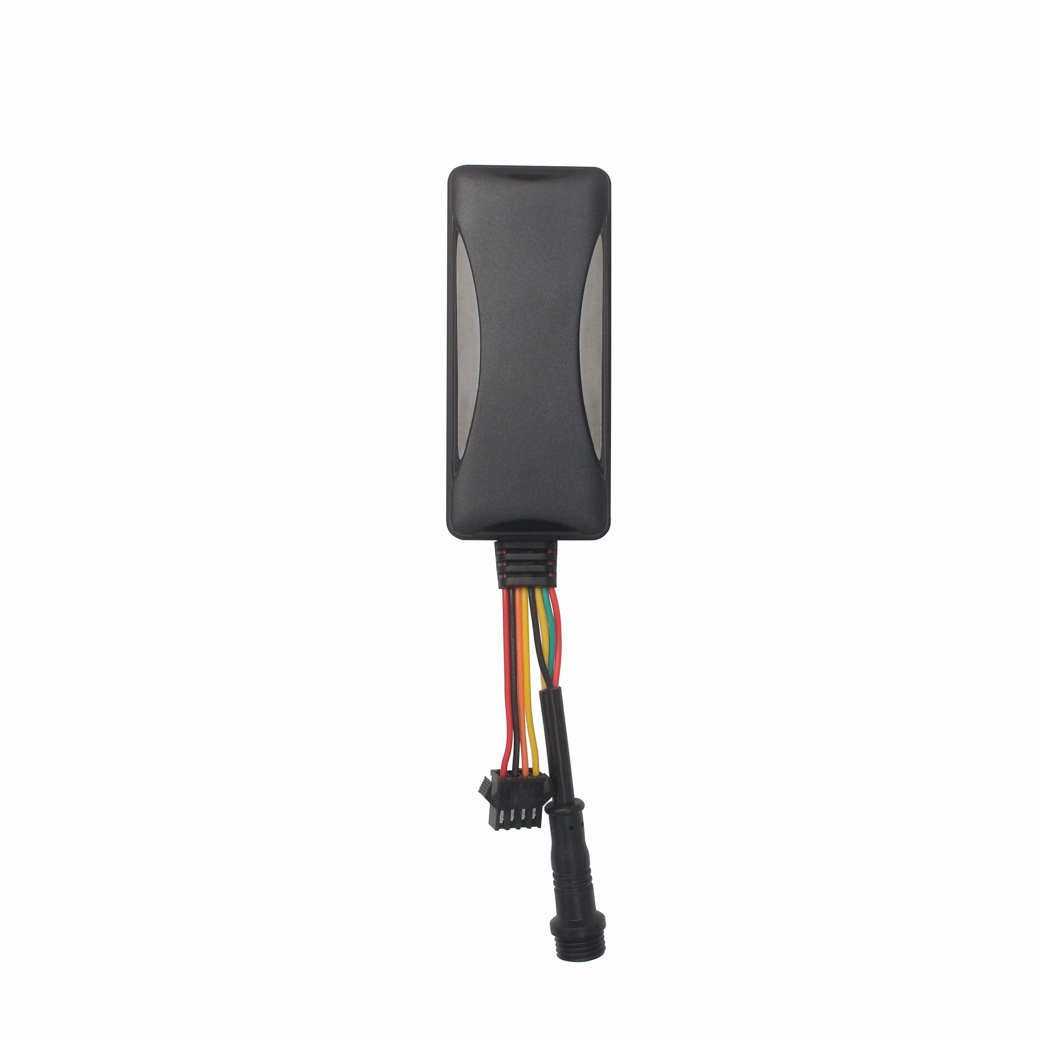
The Best GPS Tracker Depends on Your Vehicle Tracking GoalThe best vehicle GPS tracker depends on what you want to achieve, such as anti-theft protection, real-time location monitoring, fleet manageme...
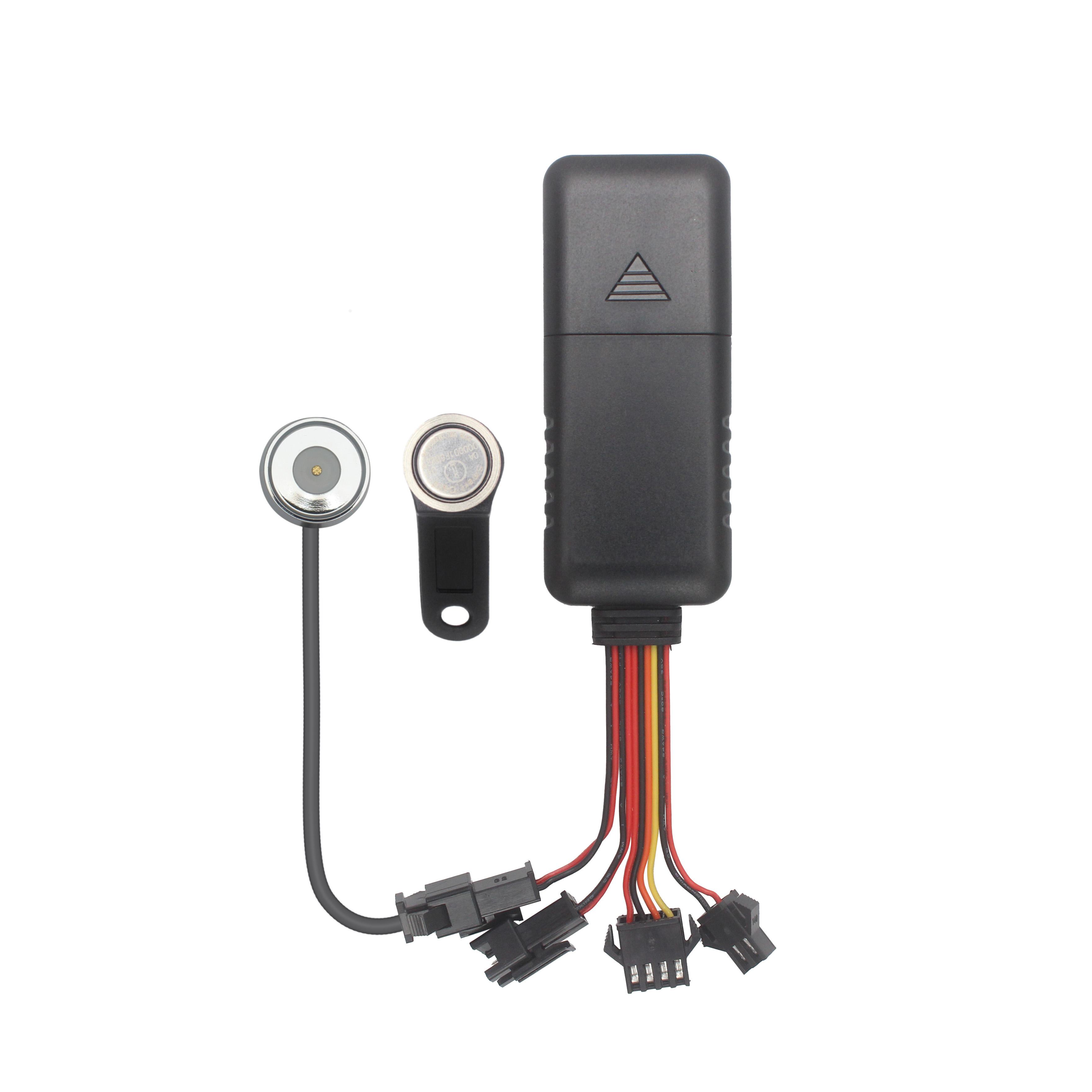
What Is the Best GPS Tracker for Car Anti-Theft and Real-Time Tracking?The best GPS tracker for car anti-theft depends on your vehicle security objectives. A proper solution should deliver reliable po...

Choosing the Right GPS Tracker Starts With Your Asset EnvironmentA suitable GPS tracker for trailers and outdoor assets depends on power availability, deployment duration, tracking frequency and envir...
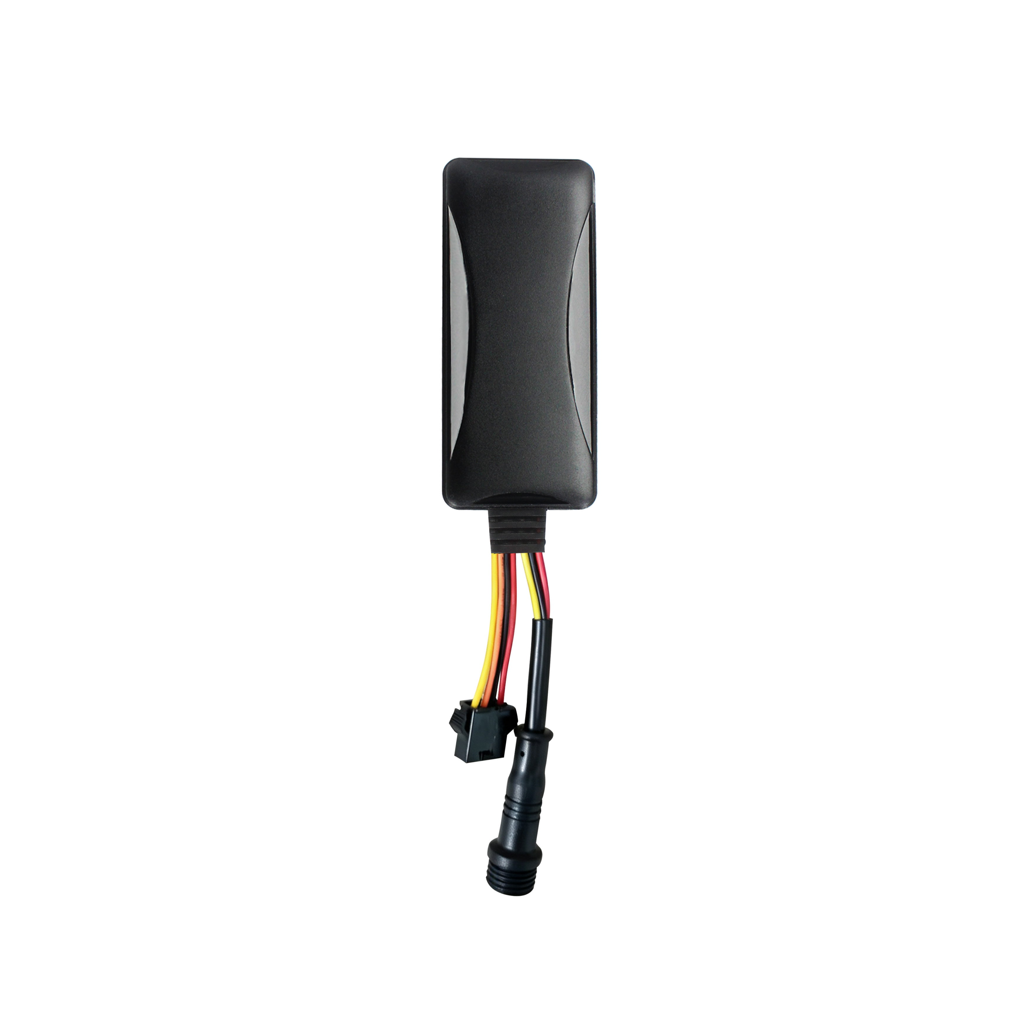
Cantrack Technology serves over 11,000 overseas customers, shipping millions of trackers annually, and keeping more than 3 million devices online worldwide. As competition grew, Cantrack evolved it...
A Reliable Fleet Tracking Solution Is More Than a GPS DeviceFleet operators are rarely asking only whether a GPS tracker can show vehicle location. They need reliable monitoring, unauthorized-use aler...
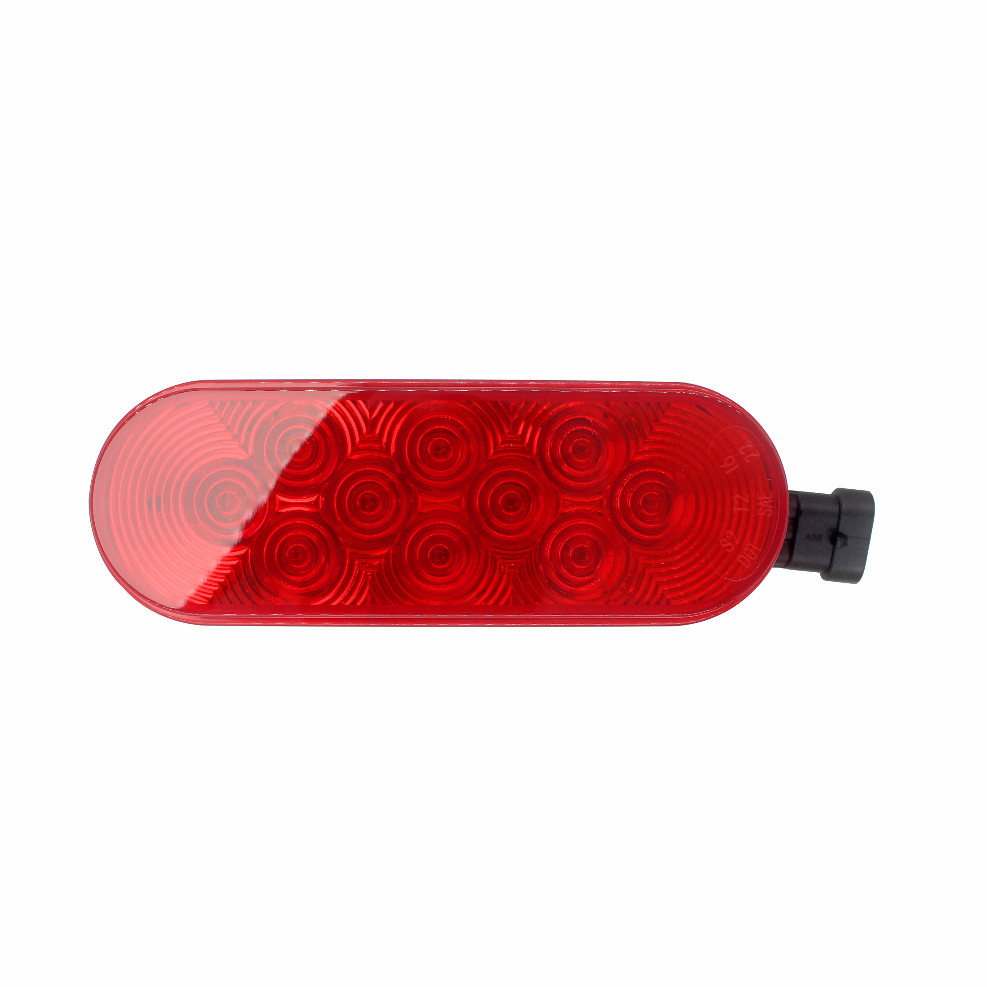
Buying GPS Trackers in Bulk Is More Than Comparing Unit PriceA GPS tracker order can look affordable on a quotation sheet and still become expensive after deployment. The real cost appears when device...
alger.qin@6gpstracker.com
 Phone: +86 198 7412 0903
 Tel: +86 755 2370 2092
 WhatsApp: +86 198 7412 0903
 Add: FL5, BLDG B, Lianxing Industrial Park, JiangJun Rd, Qiuchang, HuiYang District, Huizhou, Guangdong, China
Copyright © Huizhou Cantrack Technology Co., Ltd. All Rights Reserved. Sitemap “仲达荣”商标为惠州市仲达荣科技有限公司所有


Product

About
Support
News
Contact Us


 Language


 EN
EN

