
The previous generation of GPS is the "Meridian" navigation satellite developed by the US Navy in 1964, which is a low-orbit satellite. The main purpose is for the navigation of nuclear


 Home > News > Other information > truck tracking webfleet solutions > The development history of GPS
source:truck tracking webfleet solutions release time:2022-08-12 Hits: Popular:realtime gps tracker online

The previous generation of GPS is the "Meridian" navigation satellite developed by the US Navy in 1964, which is a low-orbit satellite. The main purpose is for the navigation of nuclear submarines and surface ships, and also for geodetic surveying. Its most important function is to provide precise positioning for the Polaris nuclear missile to launch a nuclear strike quickly. From April 1960 to the early 1980s, more than 30 satellites were launched. The first is Meridian 1B, which is used to test and identify the navigation satellite scheme and its key technologies, and to verify the principle of dual-frequency Doppler speed measurement, positioning and navigation, and the results prove that satellite navigation is feasible.
The first practical navigation satellite Meridian 5B-2 was launched in December 1963; the first finalized navigation satellite Meridian 5C-1 was launched in June 1964 and delivered to the Navy; July 1967 Meridian navigation satellite The networking is practical and allows civilian use. In 1972, the Meridian Instrument Improvement Program (TIP) was implemented. A total of 3 satellites were launched. The main test was the disturbance compensation system, which compensated for the orbital perturbation caused by atmospheric drag and solar radiation pressure in real time, which greatly improved the accuracy of orbit prediction. Drag satellites. In May 1981, the improved and practical Meridian satellite was launched, renamed NOVA.
In order to solve the many problems of the "Meridian", the US Department of Defense invested 10 billion US dollars to develop a new satellite navigation system in the 1970s, that is, the GPS that we are familiar with. GPS was highly valued at that time as a part of "Star Wars". After the United States abandoned the Star Wars program in the 1980s, GPS still survived and developed.
went through several stages
The first stage is the program demonstration and preliminary design stage. From 1973 to 1979, a total of 4 test satellites were launched. Developed ground receiver and established ground tracking network
The second stage is the comprehensive development and testing stage. From 1979 to 1984, seven test satellites were launched successively, and various receivers were developed. Experiments show that GPS positioning accuracy far exceeds design standards
The third stage is the practical networking stage. On February 4, 1989, the first GPS working satellite was successfully launched, indicating that the GPS system has entered the engineering construction stage. At the end of 1993, a practical GPS network (21+3) GPS constellation had been built, and the failed satellites will be replaced according to the plan in the future.
Read recommendations:
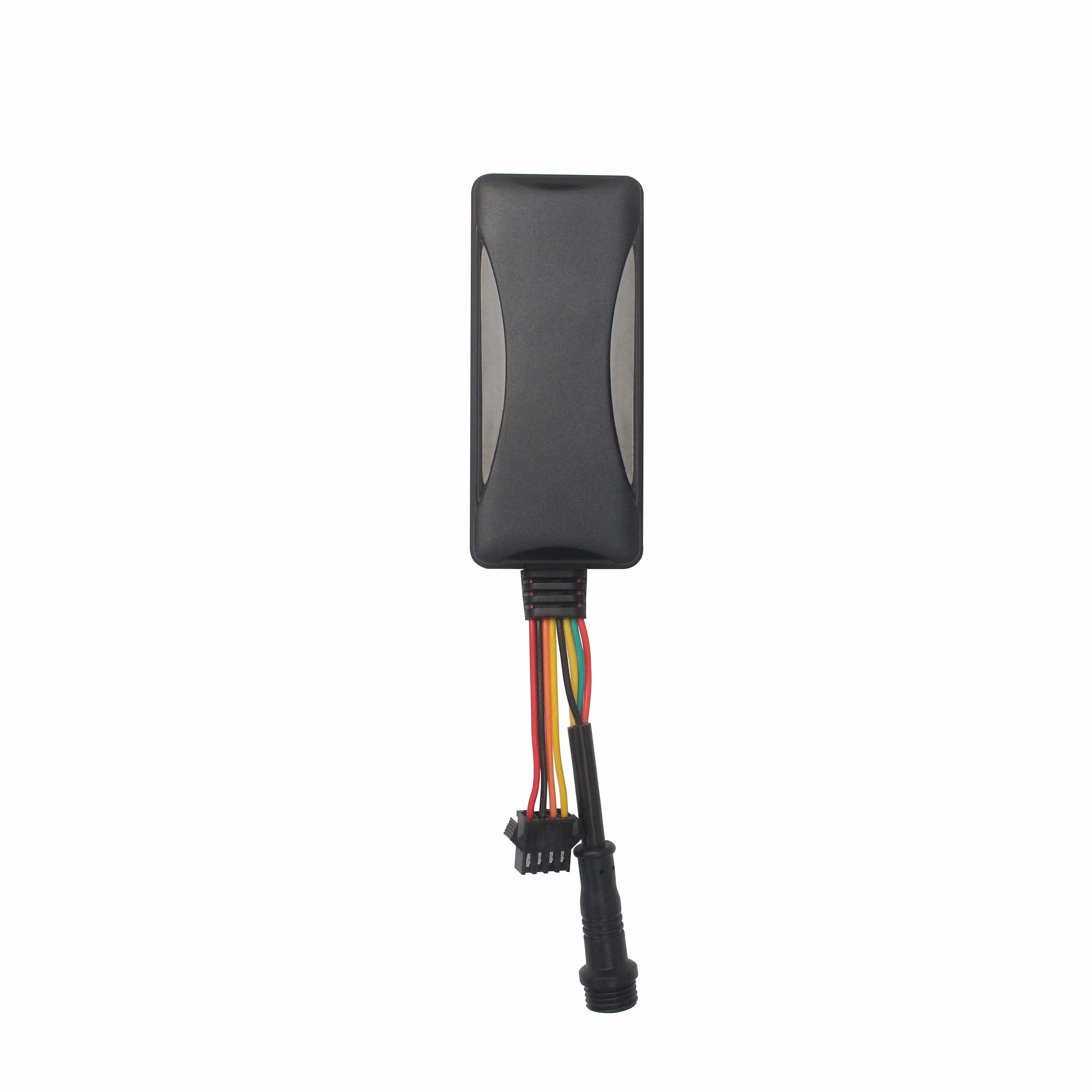
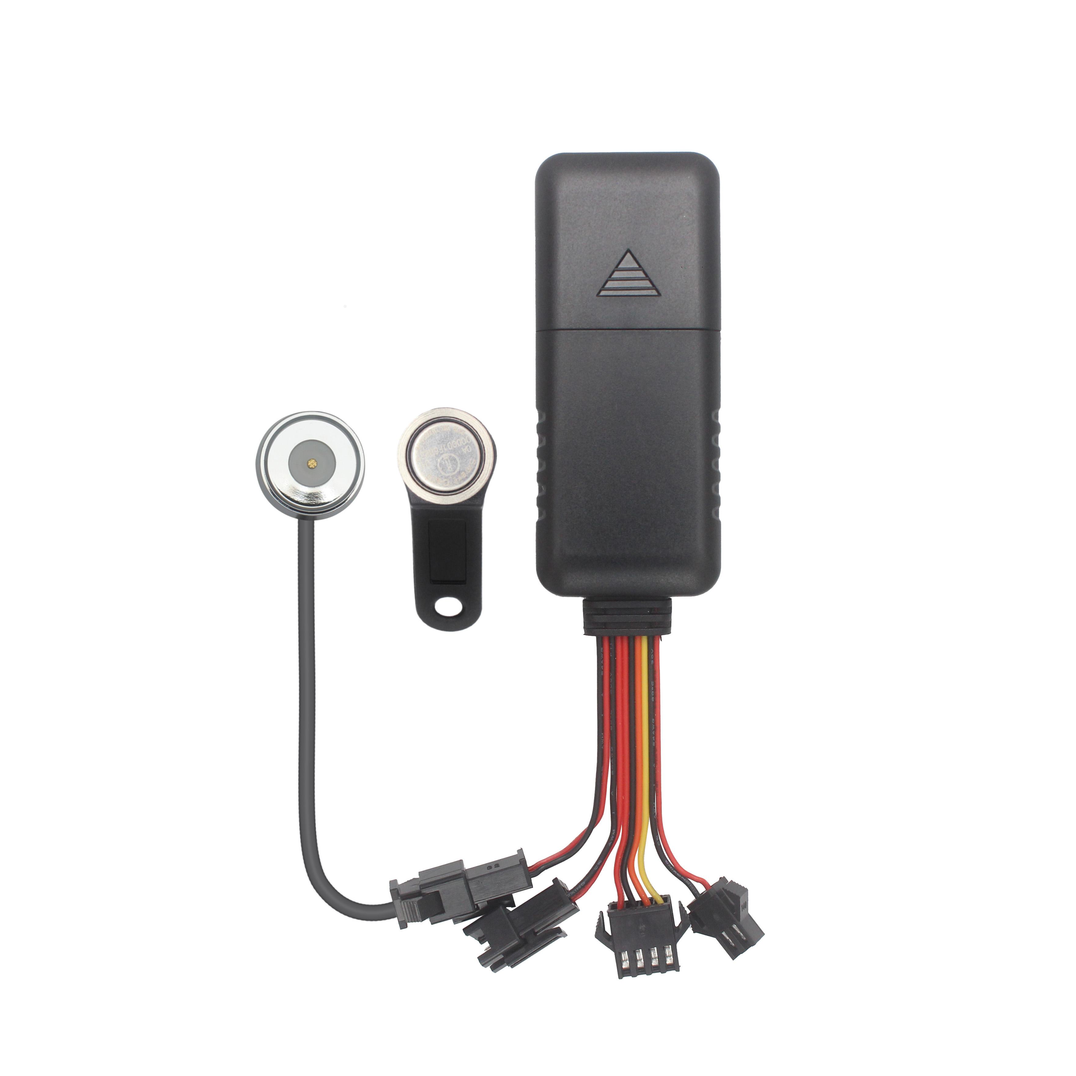
G900LS 8 Lines-4G Car GPS Tracker
Auto GPS information and mobile phone interconnection.gps tracker no monthly fee Factory
Last article:There are three parts to the GPS plan
Next article:Handheld GPS Device
Related Information
pet gps tracker cat wholesale
2023-03-16realtime gps tracker online Factory
2023-04-23simple gps tracking manufacture
2023-04-23fleet gps trackers custom
2023-04-23gps tracker for trailer
2023-04-23simple gps tracking custom
2023-04-23portable gps tracker Vendor
2023-04-23GPS Tracking custom
2023-04-11OBD GPS Tracker distributors
2023-04-23Dog gps tracker custom
2023-04-23G500L -4G OBD GPS Tracker
2022-09-06GPS Dash Cam
2026-04-2910000mAh Magnetic Asset GPS Tracker
2026-04-29TK103B
2022-06-20G200NY -Cow/Camel GPS Tracker
2022-06-21The working principle and equipment composition of the GPS positioning management system.obd-II port
2023-05-06This product focuses on humanized design to minimize the false alarm rate.
2022-12-15What kind of Bluetooth GPS do you choose?fleetmanagement webfleet solutions
2022-11-16What are the functions of car GPS locators.obd-II port gps tracker maker
2023-06-16GPS installation precautions.mini plastic buckles custom
2023-06-06GPS intelligent bus stop
2022-12-09How to ensure the personal safety of the elderly
2023-02-22The difference between the GPS positioner and the navigator
2023-02-25GPS Global Positioning System
2022-08-12GPS parameter.Gps speed limiter Solution
2023-05-25GPS DOP and Active Satellites (GSA)
2022-09-28GPS receiver host.gps tracker no monthly fee supplier
2023-05-11System Composition of GPS PPS Clock Synchronization Technology
2022-11-11gps tracker untold secrets
2022-09-13Buses equipped with GPS for private use should be held accountable
2022-08-11Related Articles
The Best GPS Tracker Depends on Your Vehicle Tracking GoalThe best vehicle GPS tracker depends on what you want to achieve, such as anti-theft protection, real-time location monitoring, fleet manageme...
What Is the Best GPS Tracker for Car Anti-Theft and Real-Time Tracking?The best GPS tracker for car anti-theft depends on your vehicle security objectives. A proper solution should deliver reliable po...

Choosing the Right GPS Tracker Starts With Your Asset EnvironmentA suitable GPS tracker for trailers and outdoor assets depends on power availability, deployment duration, tracking frequency and envir...
Cantrack Technology serves over 11,000 overseas customers, shipping millions of trackers annually, and keeping more than 3 million devices online worldwide. As competition grew, Cantrack evolved it...
A Reliable Fleet Tracking Solution Is More Than a GPS DeviceFleet operators are rarely asking only whether a GPS tracker can show vehicle location. They need reliable monitoring, unauthorized-use aler...

Buying GPS Trackers in Bulk Is More Than Comparing Unit PriceA GPS tracker order can look affordable on a quotation sheet and still become expensive after deployment. The real cost appears when device...
alger.qin@6gpstracker.com
 Phone: +86 198 7412 0903
 Tel: +86 755 2370 2092
 WhatsApp: +86 198 7412 0903
 Add: FL5, BLDG B, Lianxing Industrial Park, JiangJun Rd, Qiuchang, HuiYang District, Huizhou, Guangdong, China
Copyright © Huizhou Cantrack Technology Co., Ltd. All Rights Reserved. Sitemap “仲达荣”商标为惠州市仲达荣科技有限公司所有


Product

About
Support
News
Contact Us


 Language


 EN
EN